OpenCPN App Introduction
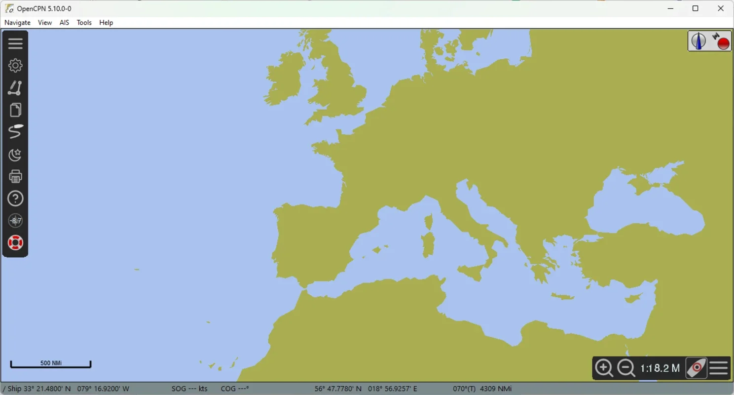
OpenCPN is an open source tool designed specifically for sailors. It offers a wide range of features that make route planning and real-time navigation a breeze.
Real-time route planning and navigation
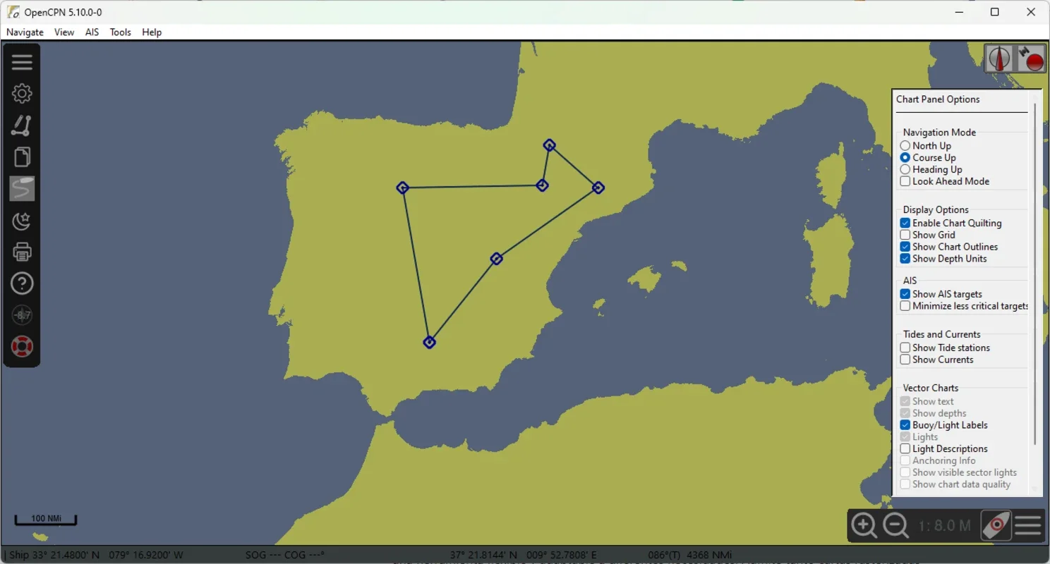
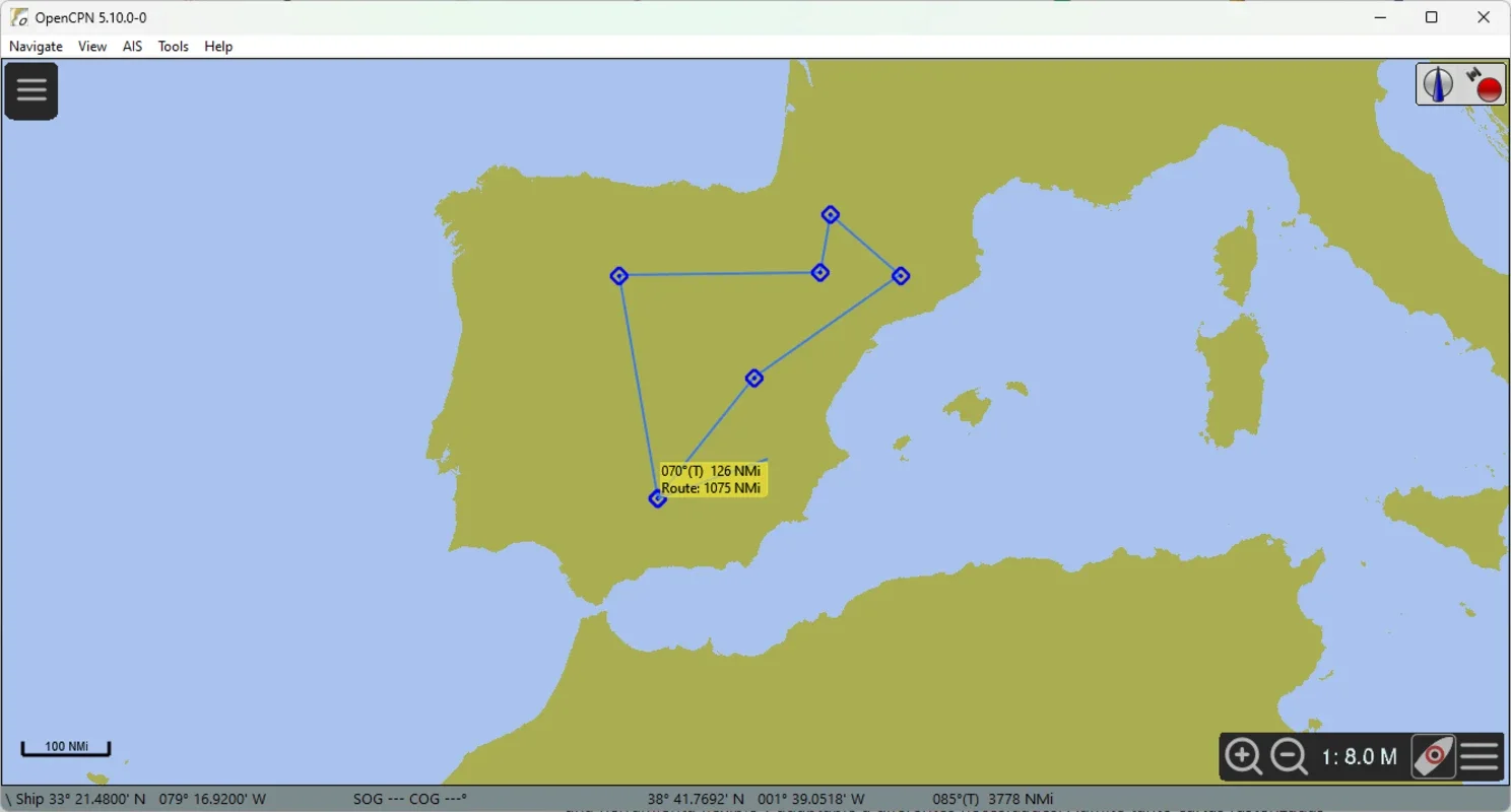
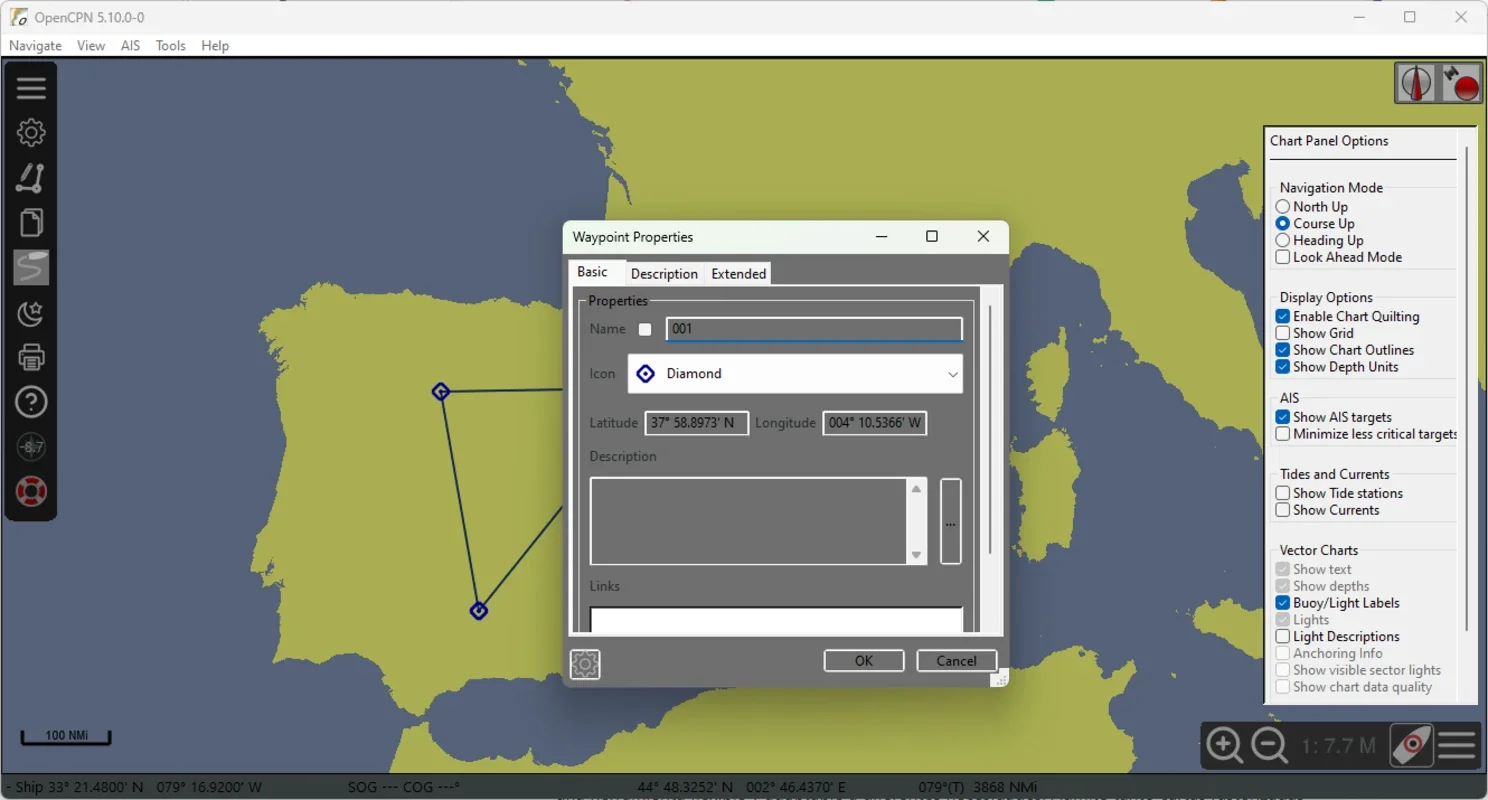
One of the key features of OpenCPN is its ability to provide detailed route planning. With just a few clicks, you can create and modify routes, setting reference points on nautical charts. As you sail, the tool seamlessly integrates with GPS devices to monitor your vessel's location in real time. This allows you to make adjustments to your course based on the conditions of the voyage or potential obstacles. Additionally, OpenCPN supports several map projection options, ensuring accurate representation of charts, even in areas of high navigation difficulty.
Support for multiple types of nautical charts
OpenCPN stands out for its compatibility with various types of nautical charts. It supports both raster and vector navigation charts, including official NOAA and S-57 charts, the international standard for electronic navigational charts (ENC). It also supports S-63 charts, which are protected and used by official chart services. This ensures that seafarers have access to detailed and up-to-date charts, enhancing their safety and planning.
AIS and radar data monitoring
OpenCPN even supports the Automatic Identification System (AIS), which is crucial for preventing collisions. With AIS functionality, you can see the position and course of other nearby vessels in real time. Additionally, it can be integrated into radar systems, providing an extra layer of security by allowing you to monitor the conditions around your boat. These features make OpenCPN a powerful tool for improving safety on the water, especially in high traffic or low visibility areas.
If you're a sailor looking for a reliable tool to assist you with your daily activities, download OpenCPN for free and start navigating safely today.