GPS Map Camera App App Introduction
The GPS Map Camera App is a revolutionary application that combines the power of photography with advanced GPS functionality. It is designed to enhance the travel and outdoor experience of users by providing a seamless way to capture and document their journeys.
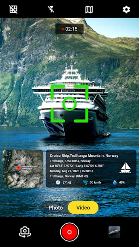
1. Seamless Geo-tagging
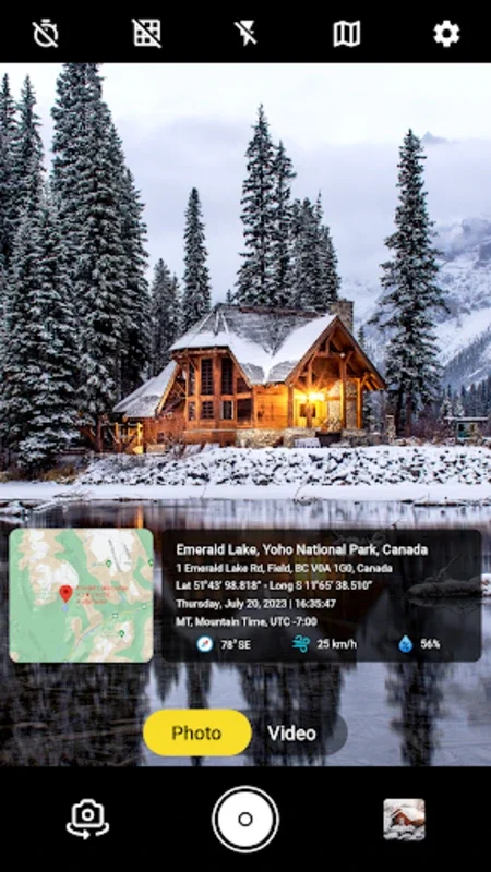
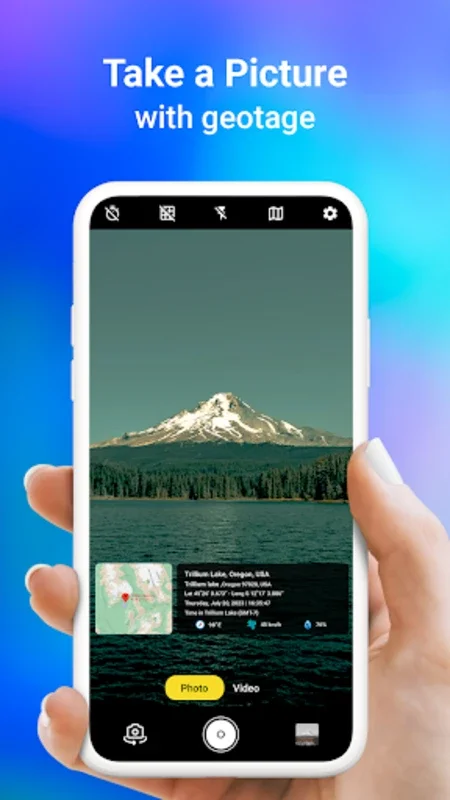
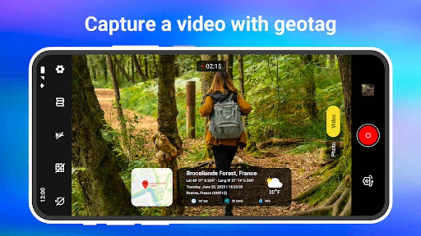
With this app, users can effortlessly attach precise geographic details to their photos. This includes latitude, longitude, and exact addresses, adding a rich layer of context to each image. It transforms photos into a visual diary of one's travels, allowing for easy recollection and sharing of memories.
2. Customizable User Experience
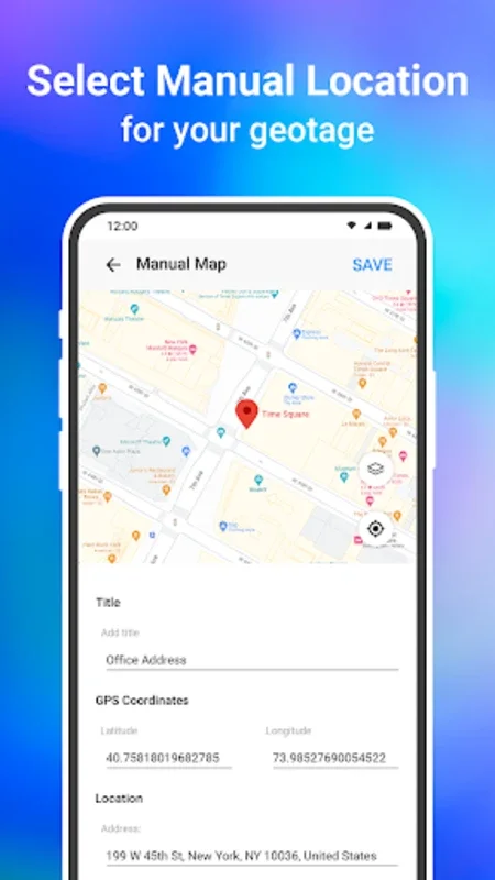
The app offers a range of customizable features to suit individual preferences. Users can choose from various map types such as satellite, terrain, or hybrid, allowing them to view their photos in different perspectives. Additionally, the option of automatic or manual location selection, along with date and time stamping, adds to the convenience and practicality of the app.
3. Robust Mapping System
For professionals and adventurers, the GPS Map Camera App comes with a powerful mapping system. It provides a bird's-eye view of where each snapshot was taken, making it an invaluable tool for surveying work, nature explorations, and more. The live GPS tracking feature also enables users to retrace their steps with ease.
4. Efficient and Versatile
The GPS Map Camera Lite variant of the app maintains the core functions while optimizing storage space. This makes it suitable for a diverse user base, whether they are capturing fleeting moments or undertaking significant projects.
In conclusion, the GPS Map Camera App is not just an ordinary photography app; it is a comprehensive tool that adds a layer of geographical literacy to your images. It transforms your adventures into a storied map, allowing you to relive and share your experiences with ease.