Windows Maps App Introduction
Windows Maps is a powerful mapping application developed by Microsoft. It offers a plethora of features that make it an essential tool for users looking to explore the world from the comfort of their Windows devices.
Satellite Images and Aerial Photography
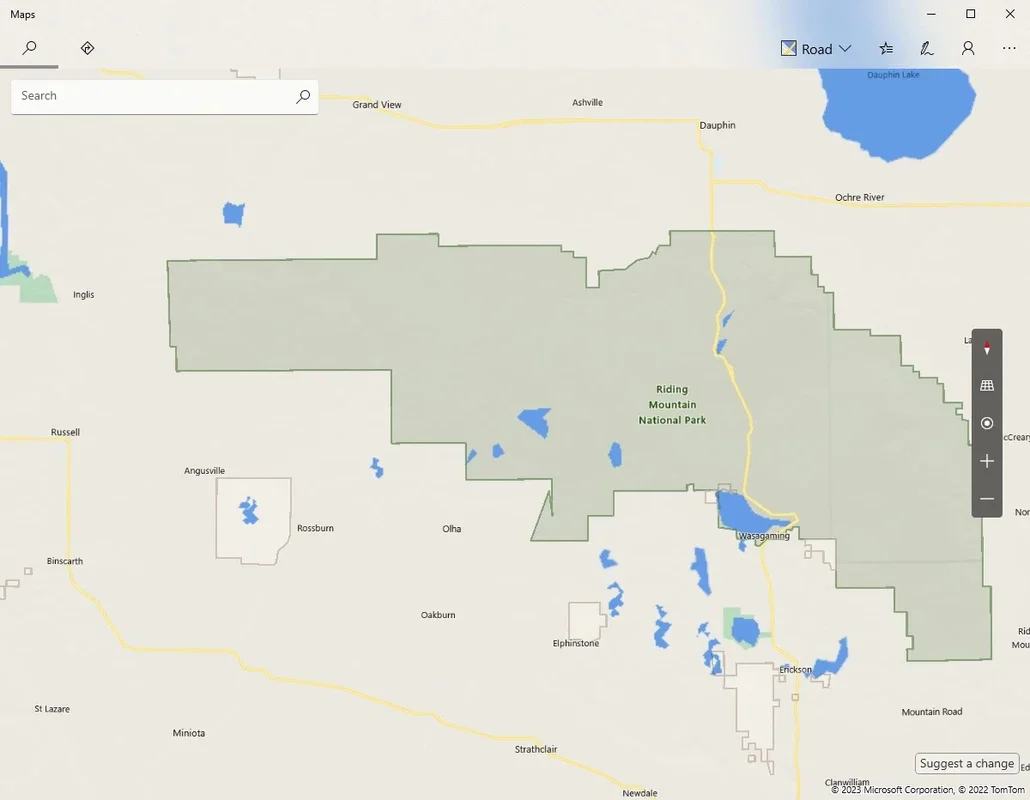
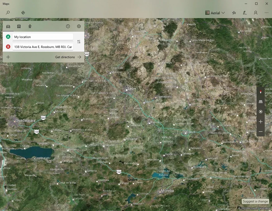
Windows Maps combines satellite images, aerial photography, 3D representations, and panoramic images taken at street level to provide a comprehensive view of the world. This allows users to get a detailed look at their destinations and plan their routes more effectively.
Address Guide and Route Planning
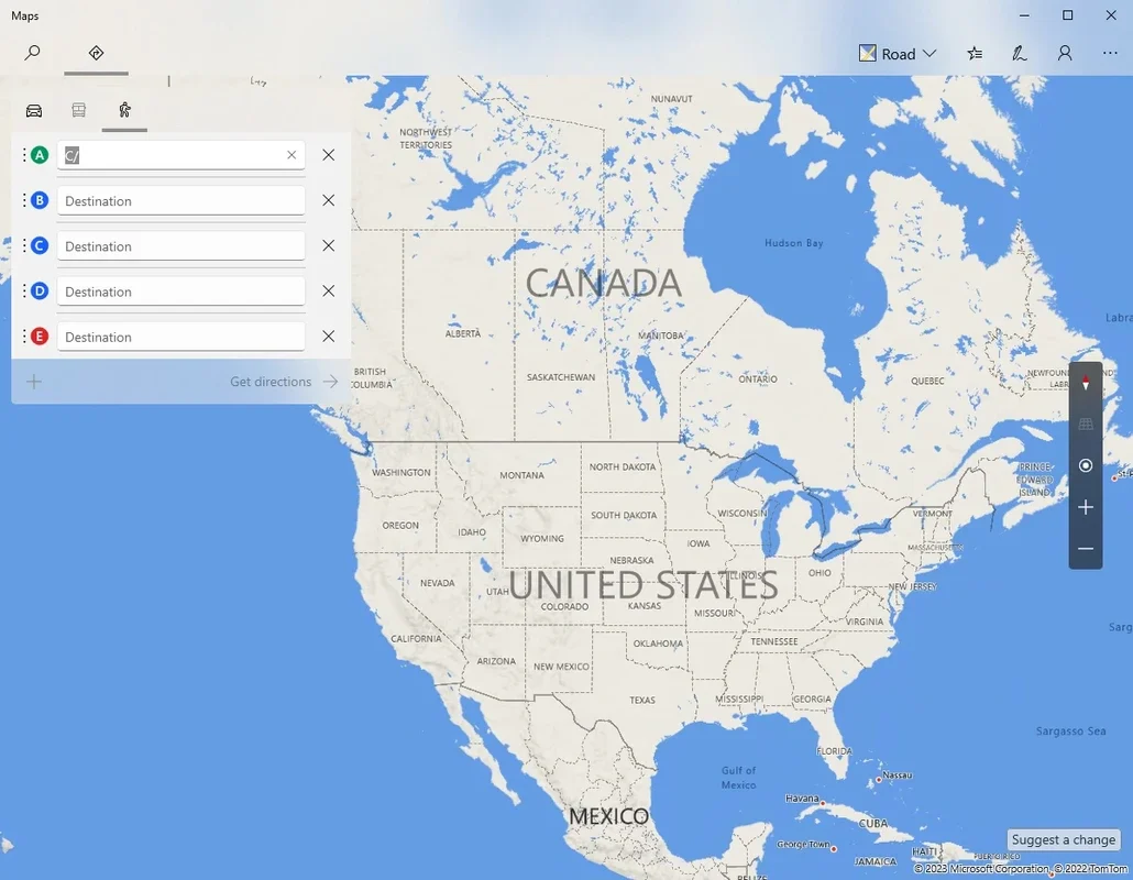
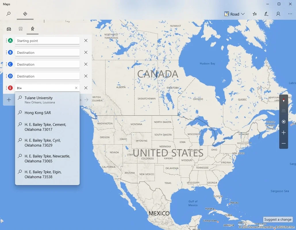
One of the standout features of Windows Maps is its address guide. Users can choose a starting point and a destination point and obtain the fastest possible route. Whether traveling on foot, by car, or by public transport, Windows Maps provides accurate and efficient directions. Users can also add stops along the way, creating complex routes with ease. Additionally, options to activate and deactivate toll roads, ferries, or tunnels give users more control over their journey.
3D City Viewer
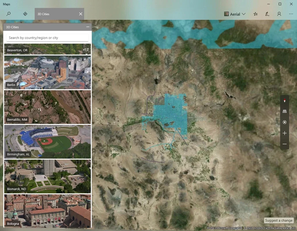
The 3D city viewer is another impressive feature of Windows Maps. While not available for all cities, it offers a unique perspective on more than a hundred cities in over a dozen countries. The three-dimensional visualization allows users to virtually explore cities and get a sense of the layout and landmarks.
Real-Time Traffic Viewer
The real-time traffic viewer is a valuable tool for users. By clicking on the button in the upper right corner of the interface, users can see the status of any road at any time. This helps users better estimate the time it would take to complete a trip and make more informed decisions about their travel plans.
In conclusion, Windows Maps is an excellent mapping tool that combines a wide range of features to provide users with a seamless navigation experience. Whether planning a trip or simply exploring the world, Windows Maps is a reliable and useful companion on Windows devices.