Google Earth App Introduction
Introduction to Google Earth
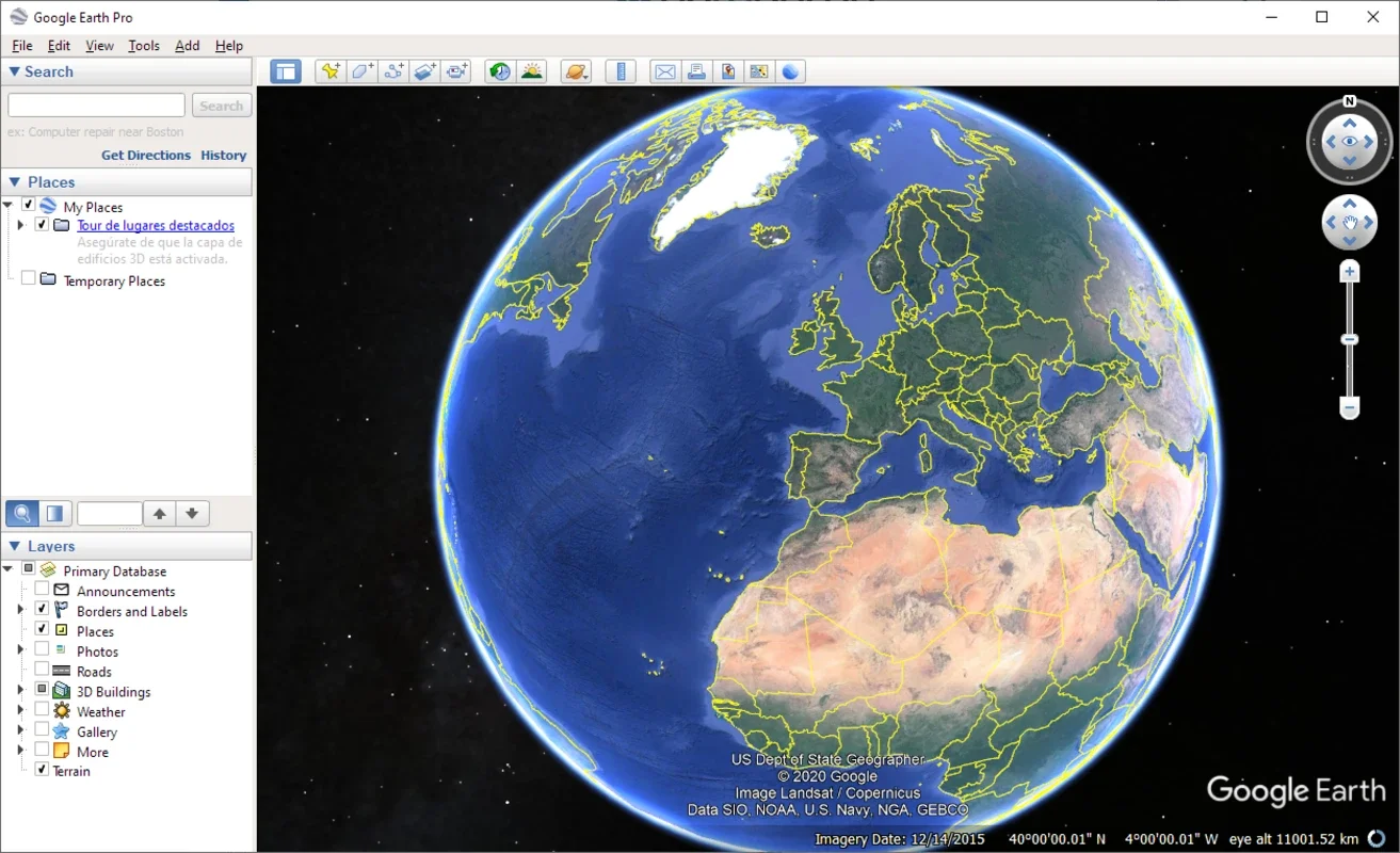
Google Earth is a remarkable software that has revolutionized the way we explore our planet. It provides a seamless experience of zooming from outer space all the way down to street level, presenting a comprehensive view by integrating imagery, 3D geography, maps, and business data within seconds. This software has become an essential tool for those with a thirst for discovery, whether it's for educational purposes, travel planning, or simply satisfying one's curiosity about different parts of the world.
Features of Google Earth
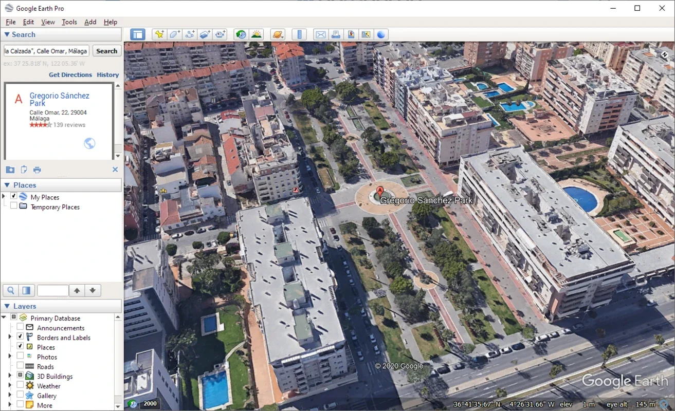
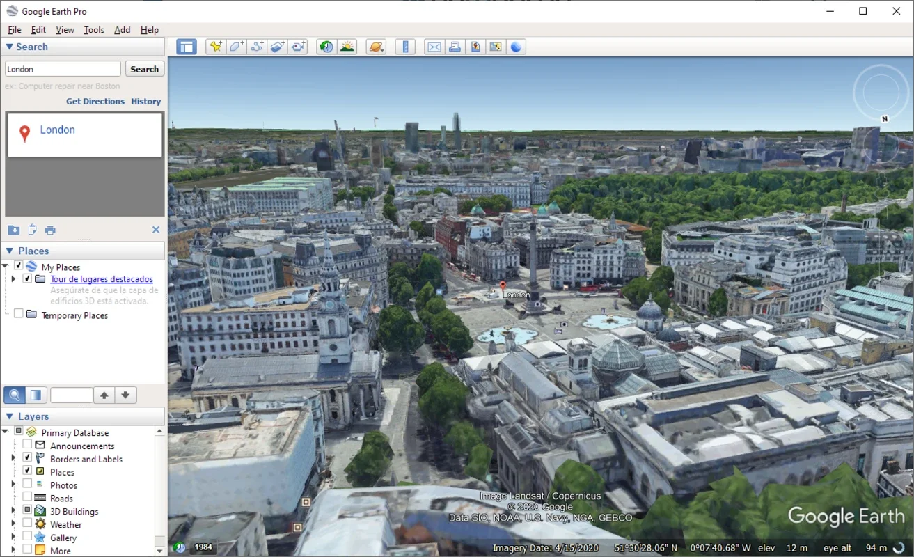
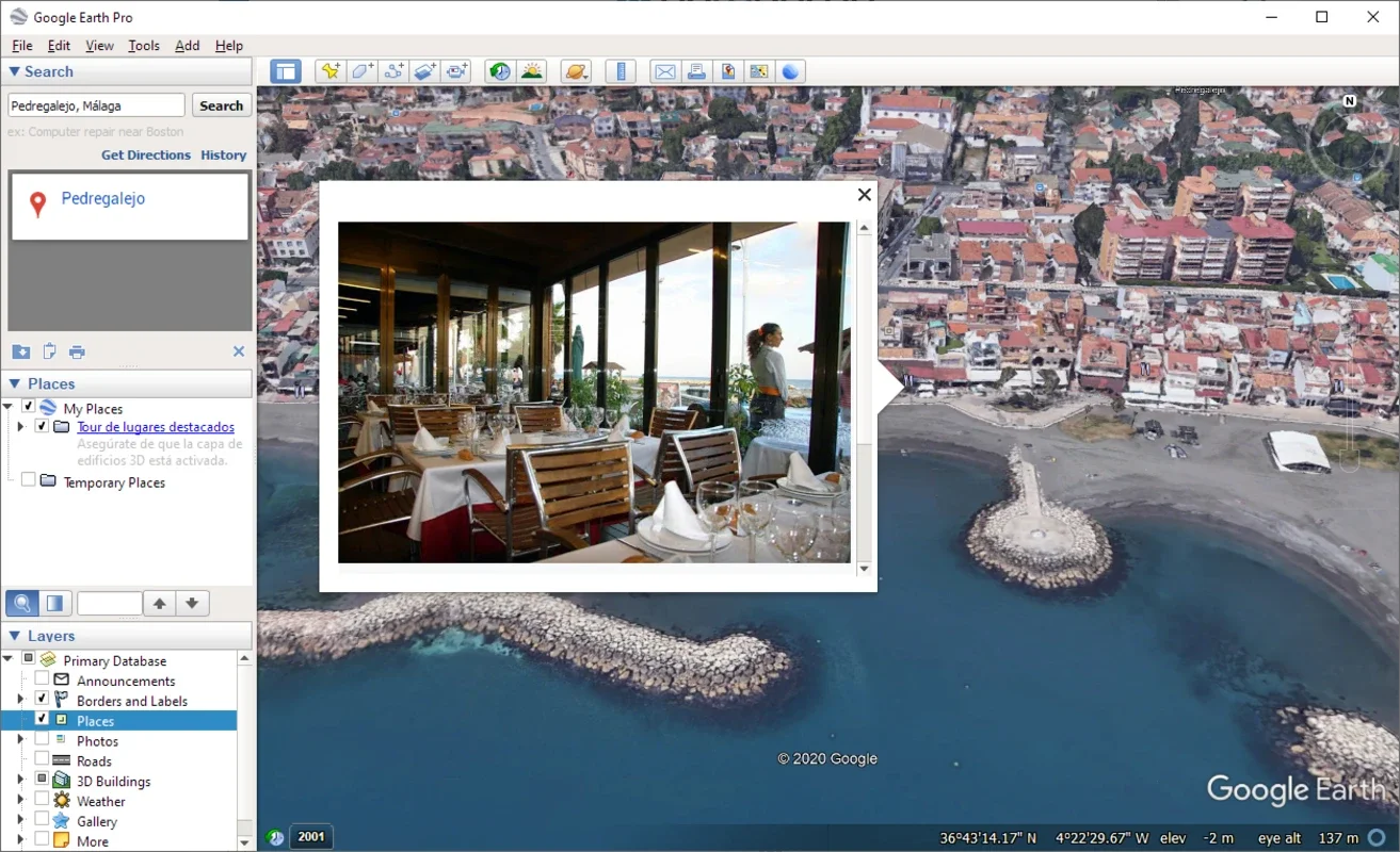
One of the most captivating features of Google Earth is its ability to display high - quality imagery. The level of detail is astounding, allowing users to view not only major landmarks but also their own neighborhoods with great clarity. For instance, you can easily identify your house or the local park. The 3D geography feature adds another dimension to the exploration. It gives a more realistic view of mountains, buildings, and other structures, making it feel as if you are actually there. The integration of maps and business data is also very useful. It helps in finding nearby restaurants, shops, or any other points of interest while exploring a particular area.
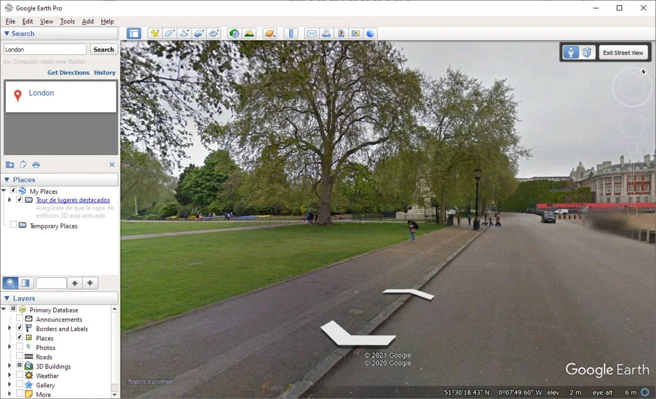
Another significant aspect is the ease of use. Even for those who are not very tech - savvy, Google Earth is intuitive. The navigation controls are simple, and the search function allows users to quickly find any location they desire. Whether it's a remote island in the Pacific or a bustling city in Europe, it's just a few clicks away.
Google Earth vs. Traditional Exploration Methods
Before Google Earth, exploring the world was mainly limited to physical travel, looking at maps, or watching documentaries. Physical travel is time - consuming and expensive. Maps, while useful, lack the immersive experience that Google Earth offers. Documentaries can only show a limited view of a place. Google Earth, on the other hand, provides a virtual exploration that is both cost - effective and time - efficient. You can visit multiple locations in a matter of minutes without leaving your seat.
Google Earth in Different Fields
In the field of education, Google Earth is a valuable resource. Teachers can use it to teach geography, history, and environmental science. For example, students can study the topography of different regions, the historical significance of certain areas, or the impact of human activities on the environment. In the business world, it can be used for market research, site selection, and logistics planning. A company can analyze the location of its competitors, potential new markets, and the best routes for transportation.
The Future of Google Earth
As technology continues to advance, Google Earth is likely to become even more powerful. We can expect improvements in the quality of imagery, more detailed 3D models, and enhanced integration with other data sources. It may also play a role in emerging fields such as virtual tourism and augmented reality. With virtual tourism, people could have a more immersive experience of visiting different places without actually traveling there. In augmented reality, Google Earth could be integrated with mobile devices to provide real - time information about the surrounding environment.
Conclusion
Google Earth has opened up a new world of exploration. It has made the world more accessible and has provided a platform for learning, discovery, and planning. Whether you are an armchair traveler, a student, or a business professional, Google Earth has something to offer. It continues to evolve and will likely remain a staple in the digital exploration toolkit for years to come.