GFS-view App Introduction
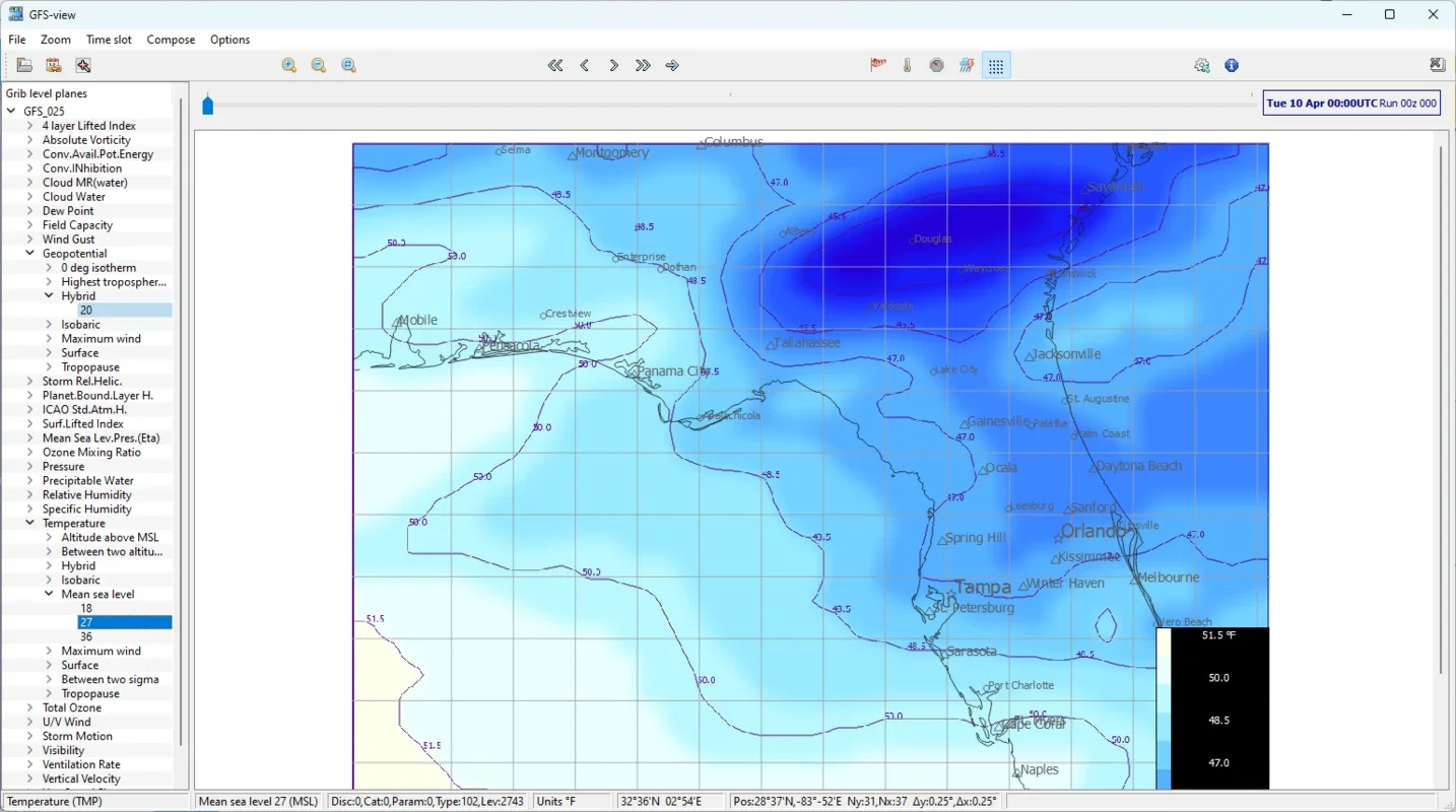
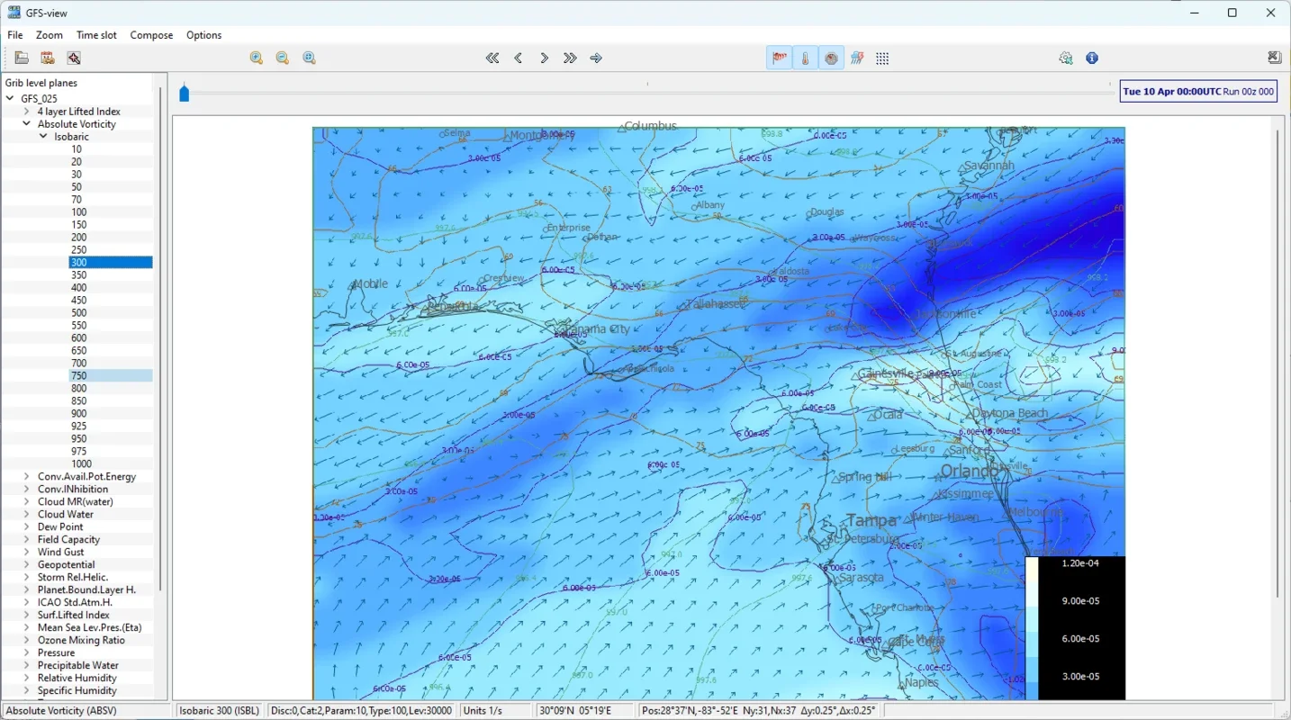
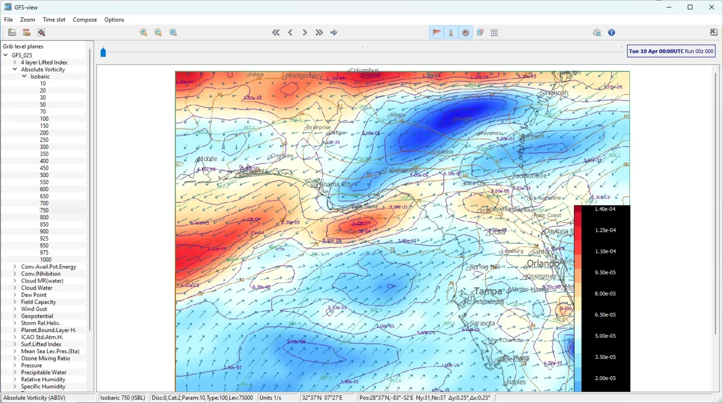
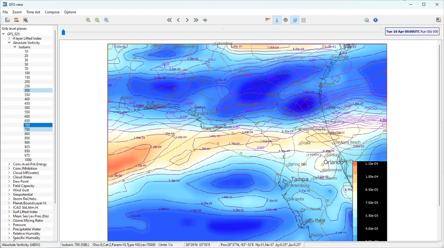
GFS-view is an exceptional software designed specifically for Windows users. It enables the generation and visualization of weather forecast maps using NCEP data.
Quick Access to Forecast Data
With GFS-view, users can quickly and easily access instant weather forecast data from NCEP centers. This provides accurate and up-to-date information, which is crucial for subsequent analysis and visualization. NCEP facilities, as part of the National Oceanic and Atmospheric Administration (NOAA) in the United States, are dedicated to collecting meteorological and oceanographic data. They perform analysis and predictive modeling to produce forecasts and warnings on a wide range of meteorological phenomena.
Efficiently Download Data Sets
This tool allows for the simultaneous download of multiple data sets, including multiple days, different numerical model runs, and various forecast times. It also offers the option to filter data on the server, saving bandwidth and disk space. This feature is highly beneficial for users who need to work with large amounts of data.
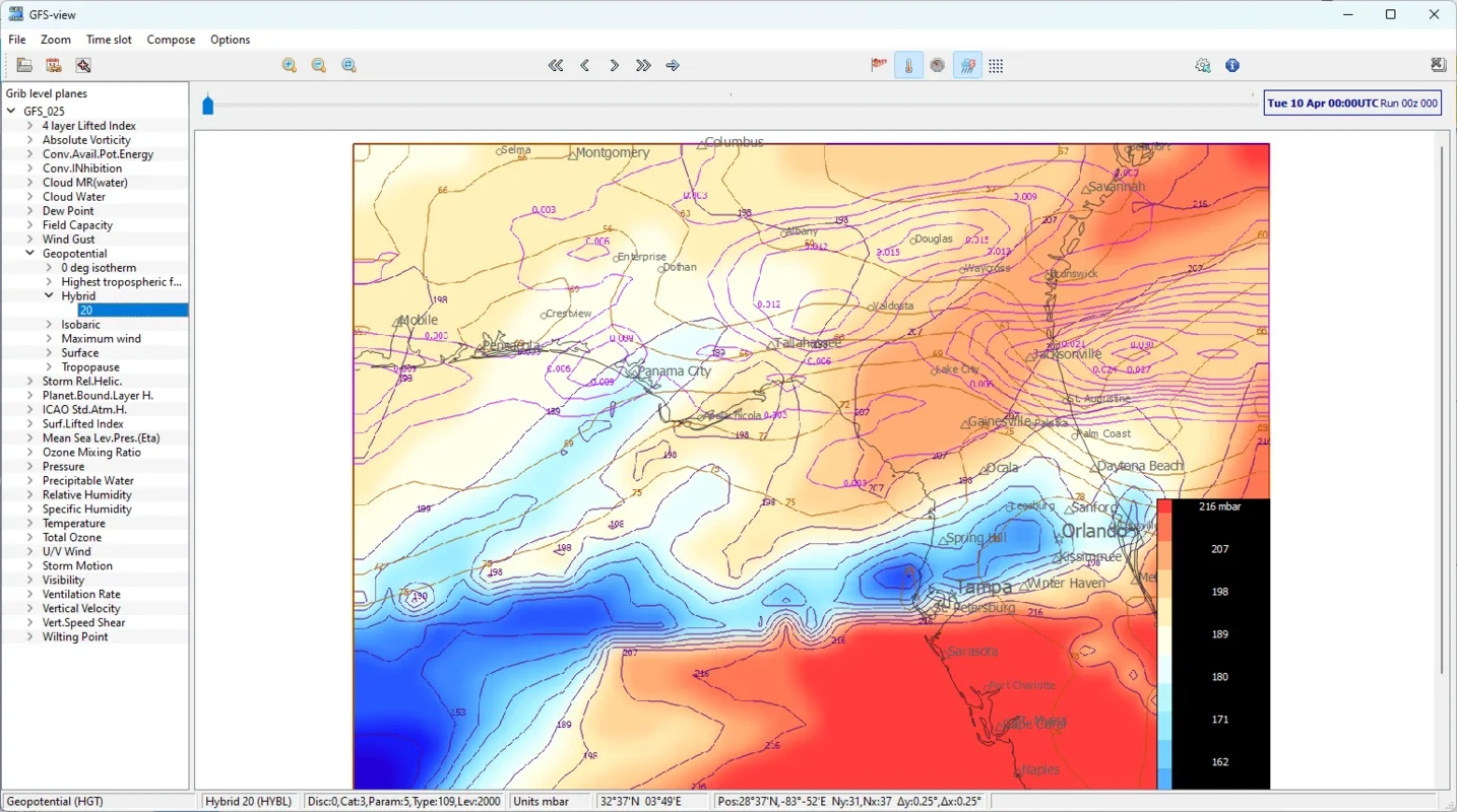
Geographic Projection and Shapefile Support
All data is displayed on the map via geographic projection, allowing users to select the desired region by city, latitude and longitude coordinates, or OSM tiled view. In addition, GFS-view supports all Natural Earth shapefiles, each with its own visual parameters. This provides users with a flexible and customizable experience for generating and visualizing weather forecast maps.
GFS-view offers a complete and customizable experience to generate and visualize weather forecast maps accurately and efficiently. Download GFS-view for free and access powerful features and up-to-date weather data at all times. It is an essential tool for meteorologists, researchers, and weather enthusiasts who demand accurate and timely weather information.