Smartarea App Introduction
Smartarea is an incredibly useful app that enables users to measure areas and distances quickly and accurately using their mobile phone's GPS capabilities. This tool is designed to meet the needs of various practical applications, such as fieldwork, construction projects, calculating roof sizes, and sports-related measurements.
Installation and Setup
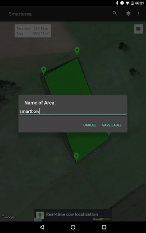
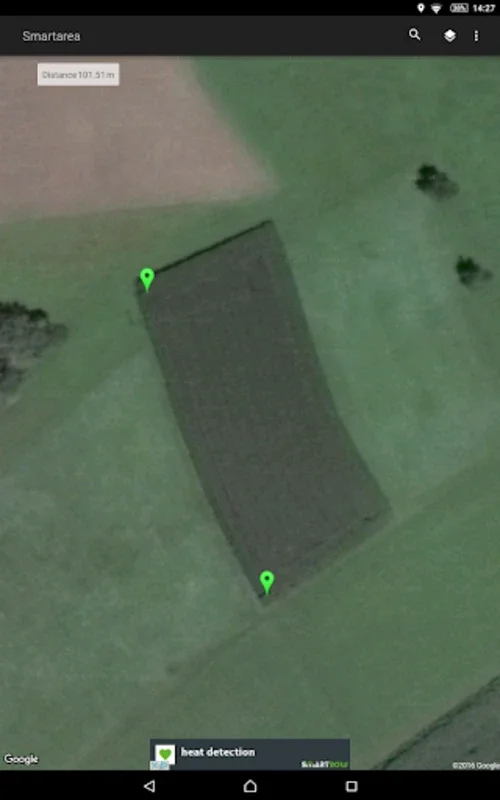
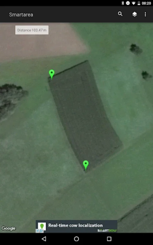
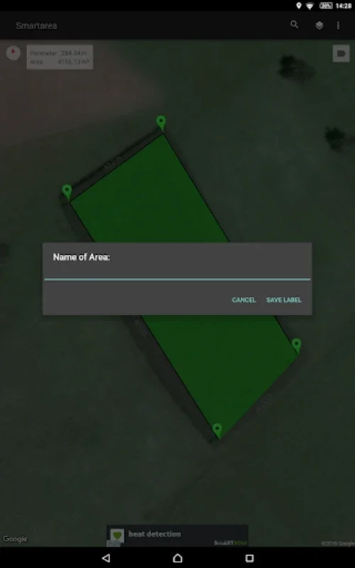
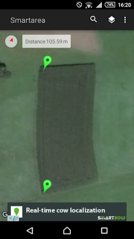
Once installed, Smartarea allows users to take full advantage of Google Maps. By simply touching the screen, users can set, adjust, or remove measurement points. The app also provides the convenience of searching for the current position through GPS or network, automatically scaling and centering the map for better visibility. This ensures that users have a clear and accurate view of the area they are measuring.
Measurement Options
Smartarea offers flexibility in measurement units and viewing options. Users can toggle between map and satellite views, depending on their needs. This allows for a more comprehensive understanding of the area being measured.
Exporting Measured Data
One of the standout features of Smartarea is its ability to export measured data directly into Google Earth or Google Maps as a KML file. This makes it easy to share and document measurements with others. Additionally, users can name measured areas and send their details as either a PNG image or a KML file via email.
Benefits for Professionals and Enthusiasts
For professionals and enthusiasts who need an efficient way to measure spatial dimensions, Smartarea is a reliable tool. Its streamlined and user-friendly interface enhances productivity, allowing users to focus on their tasks without being distracted by complicated software.
In conclusion, Smartarea is a versatile app that provides accurate and convenient measurement tools. Whether you are a professional in the construction industry or a sports enthusiast, this app is sure to meet your needs. Download Smartarea today and start measuring with ease!