MapplerK3 App Introduction
Introduction
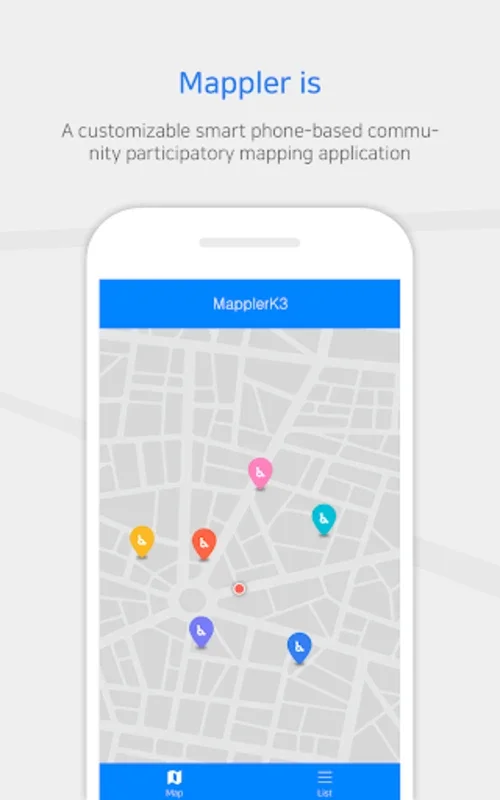
MapplerK3 is a dynamic mobile application specifically designed for engaged community members and organizations. It offers an easy and efficient way to conduct participatory mapping, empowering users to record, manage, and share a wide range of data within a geographic context.
Key Features
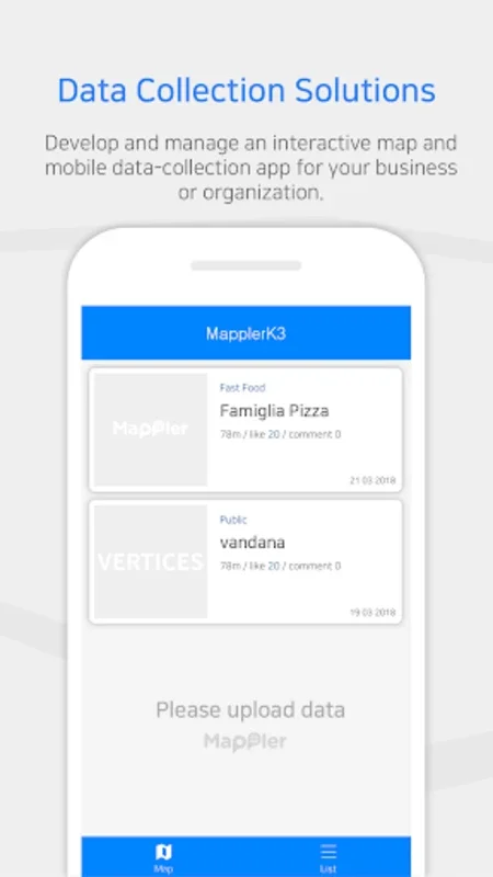
- Real-time Data Collection: Users can create and oversee an interactive map directly from their smartphone. It allows for the instant uploading of both existing and new data from the device.
- Multimedia Integration: This app enables users to enhance map points with detailed descriptions, file attachments, high-quality photos, immersive videos, and crisp audio, providing a rich and engaging map experience.
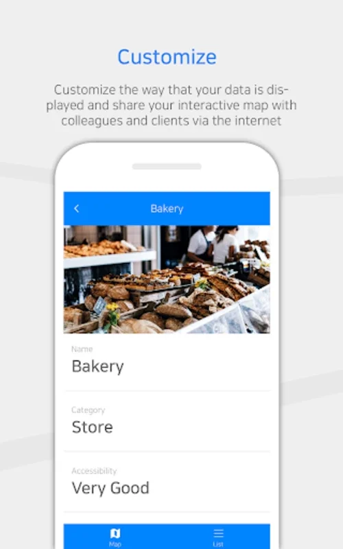
- Customization: Users can tailor how data is exhibited to meet their business or organizational needs. They can easily share these dynamic maps with colleagues and clients through the internet.
Use Cases
- Monitoring Amenities: Easily monitor and track the status of various amenities in a specific area.
- Pinpointing Concerns: Quickly identify and mark specific concerns or issues on the map for further action.
Benefits
- Real-time Interactivity: Allows for immediate updates and interactions, ensuring the most up-to-date information.
- Rich Media Incorporation: Enables a more comprehensive and engaging display of information through multimedia.
- Customizable Displays: Offers the flexibility to present data in a clear, accessible, and professional manner.
Conclusion
MapplerK3 is a crucial tool for meticulous data collectors. It introduces an innovative approach to community-based mapping, enabling efficient visualization, management, and dissemination of geographic data. With its real-time interactivity, multimedia integration, and customizable displays, it stands out as a leader in mobile mapping solutions.