
Live Earth Map App Introduction
Introduction
The Live Earth Map application has revolutionized the way we explore the world. It has brought the entire planet within our reach, allowing us to traverse different regions, experience diverse cultures, and witness natural wonders without leaving the comfort of our homes.
Live Earth Cameras
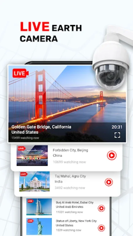
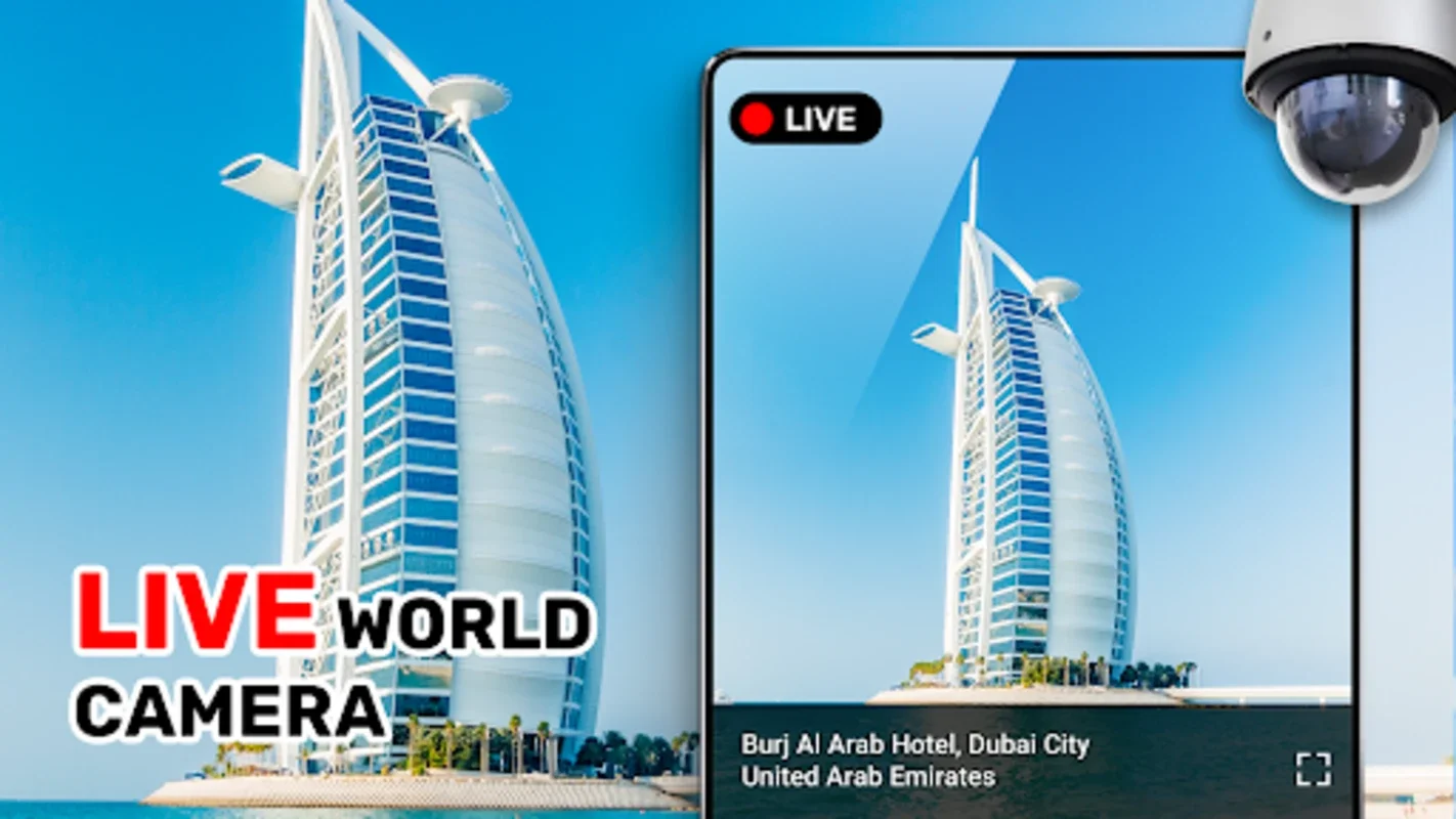
The live earth cameras are one of the most captivating features of this application. They offer high - definition views of various locations around the world. Whether it's the bustling streets of a metropolis or the serene landscapes of a remote countryside, these cameras provide a real - time window into different parts of the globe. For instance, one can observe the daily activities in a European city square or watch the waves crashing on a tropical beach. This not only serves as a source of entertainment but also as an educational tool, enabling users to learn about different climates, time zones, and ways of life.
3D Panorama Street View
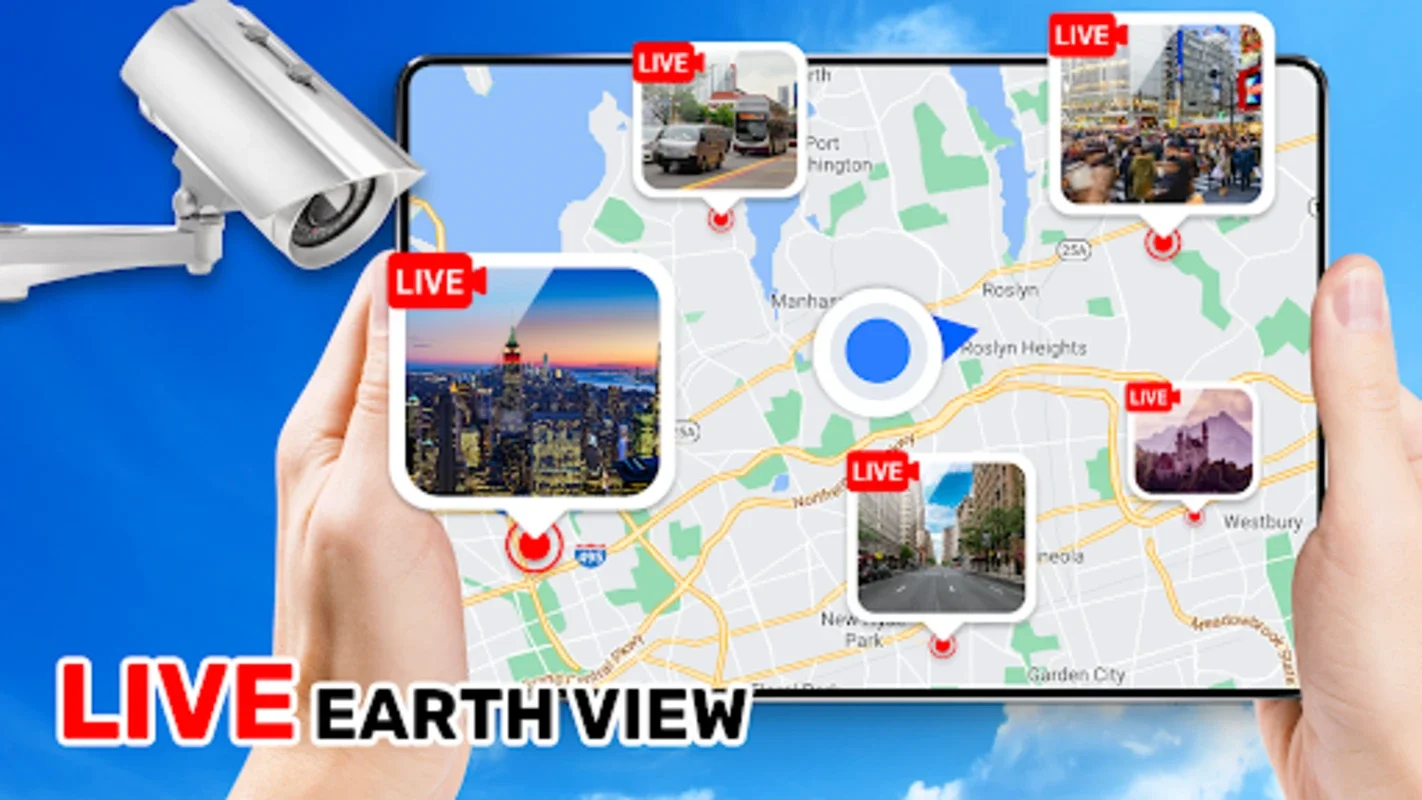
The advanced 3D Panorama Street View is a game - changer when it comes to navigation. It allows users to have a more immersive experience while planning their travels. Instead of just looking at a flat map, they can virtually stroll through the streets of a destination. This feature is especially useful for those who are planning a trip to an unfamiliar place. They can get a feel of the layout, identify key landmarks, and even estimate the distances between different points of interest.
Real - Time GPS Navigation
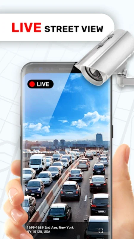
Real - time GPS navigation is another crucial aspect of the Live Earth Map. It ensures that users can reach their destinations smoothly. With up - to - date traffic information, it helps in avoiding congested routes. Whether one is driving, walking, or using public transportation, this feature provides accurate directions. It also allows for easy exploration of nearby areas, as it can suggest alternative routes or points of interest along the way.
Exploring Iconic Landmarks
The application offers a unique opportunity to explore iconic landmarks. Users can visit the Eiffel Tower in Paris, the Great Wall of China, or the Sydney Opera House without having to physically be there. This virtual exploration can be a great way to satisfy one's wanderlust, especially when actual travel is not possible. It also allows for a more in - depth study of these landmarks, as users can view them from different angles and learn about their historical and cultural significance.
Measuring Distances and Areas
The tool for measuring distances and areas on the 3D map is a handy addition. It is useful for trip planning, as it helps in estimating the length of a journey or the size of an area to be explored. For example, if one is planning a hiking trip, they can use this tool to measure the length of the trail and the area of the park or forest they will be traversing. It also gives a better understanding of the geographical layout of a place.
Conclusion
In conclusion, the Live Earth Map is a comprehensive and innovative application that caters to the needs of the curious and adventurous. It combines various features such as live cameras, 3D panorama street view, real - time GPS navigation, and landmark exploration to provide a virtual global exploration experience. It has the potential to change the way we perceive and interact with the world, making it more accessible and understandable.