Kadastr UA App Introduction
Introduction
The Kadastr UA app stands as a powerful instrument, offering users the ability to access and navigate the public cadastral map of Ukraine. It is meticulously designed to simplify and streamline interactions with cadastral information, emerging as a valuable resource for those with an interest in land data and real estate within the region.
Core Functionality
At its core, the app empowers individuals to conduct efficient searches for land plots by their cadastral number, leveraging the data from the StateGeoCadastre. Searches are conveniently stored on the device, facilitating quick reference and comparison of different land parcels. This ensures easy access to previously viewed plots, saving time and effort.
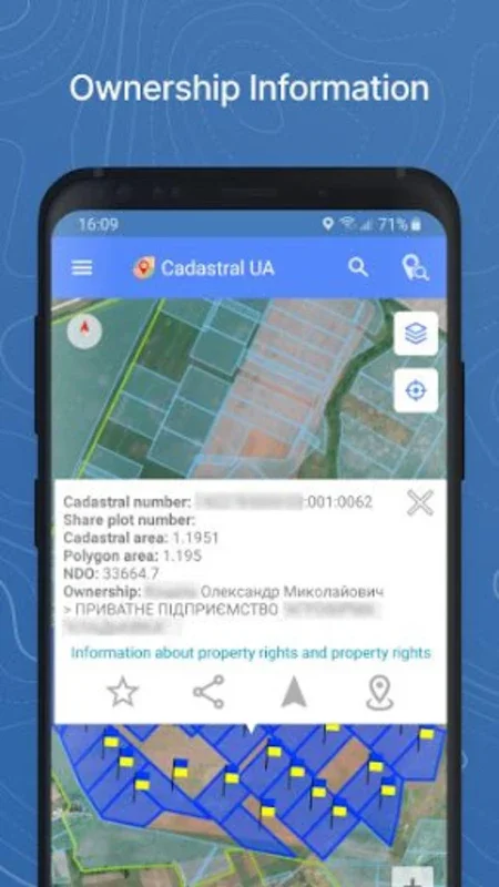
Visual Land Identification
One of the standout features of this platform is its ability to allow users to visually identify land locations on the map. It provides insightful details such as land area, type, and intended purpose. For those in need of in-depth ownership data, additional authorization unlocks information on property rights. The security feature ensures that sensitive information from the State Geo Cadastre of Ukraine is protected, requiring an electronic signature for access.
Onsite Land Analysis Tools
The app offers a range of tools for onsite land analysis. Users can determine a land plot's physical location and acquire coordinates with a simple press on the plot's border on the map. It also provides the convenience of creating lists of favorite cadastral numbers for swift future searches, enhancing user experience.
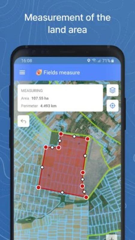
Information Sharing and Navigation
The tool facilitates information sharing through instant messengers, making it easy to share land-related information with others. It also simplifies navigation to land plots with its built-in routing and navigation system. Users can enhance their understanding of land dimensions and areas by forming polygons on the map or by tracking a contour on foot.
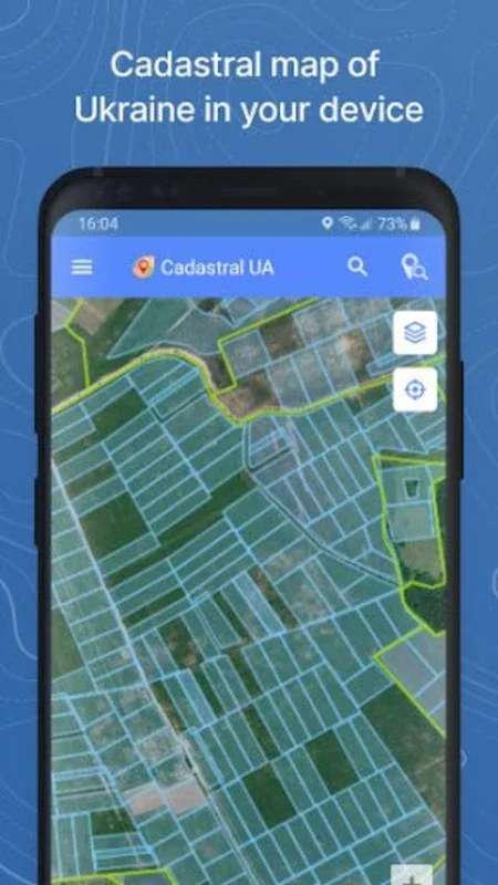
Latest Updates and Orthophotomaps
Kadastr UA ensures that users are kept well-informed about all developments pertaining to land legislation by providing the latest updates directly through the platform. Additionally, with orthophotomaps, users can view the cadastral division and add an extra visual layer to their research, enhancing their understanding of the land.
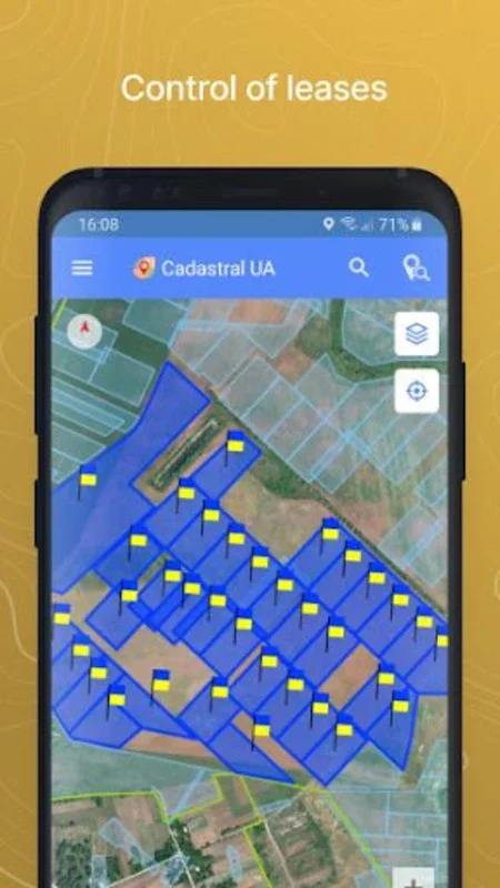
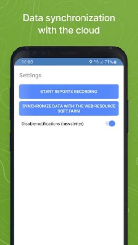
Advanced Land Management Functions
For those who register with the app's cloud service, advanced land management functions become available. These include tools for comparing field boundaries with cultivated areas, managing lease agreements and durations, and having essential information about shareholders and tenants readily available. These features help users maintain better control over their land resources and transactions.
Conclusion
Kadastr UA serves as a comprehensive platform for navigating the intricacies of land information in Ukraine. It offers a wide range of features suitable for both individual users and land management professionals, making it an essential tool for anyone involved in land-related activities.