Jahtikartta outdoor GPS map App Introduction
Jahtikartta outdoor GPS map is a revolutionary application designed specifically for outdoor enthusiasts who are looking to explore the beautiful landscapes of Finland, Sweden, and Norway. This comprehensive guide will delve into the various features and benefits that make Jahtikartta outdoor GPS map a must-have for any adventurer.
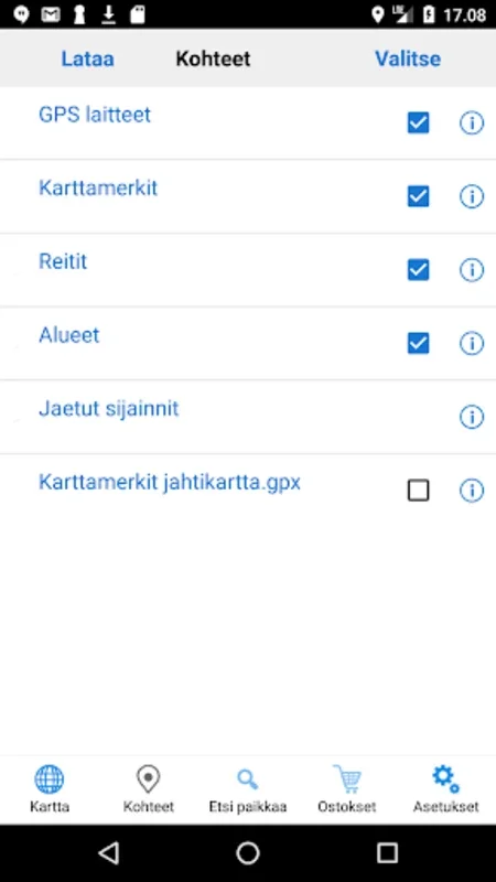
1. Offline Maps and Location Services
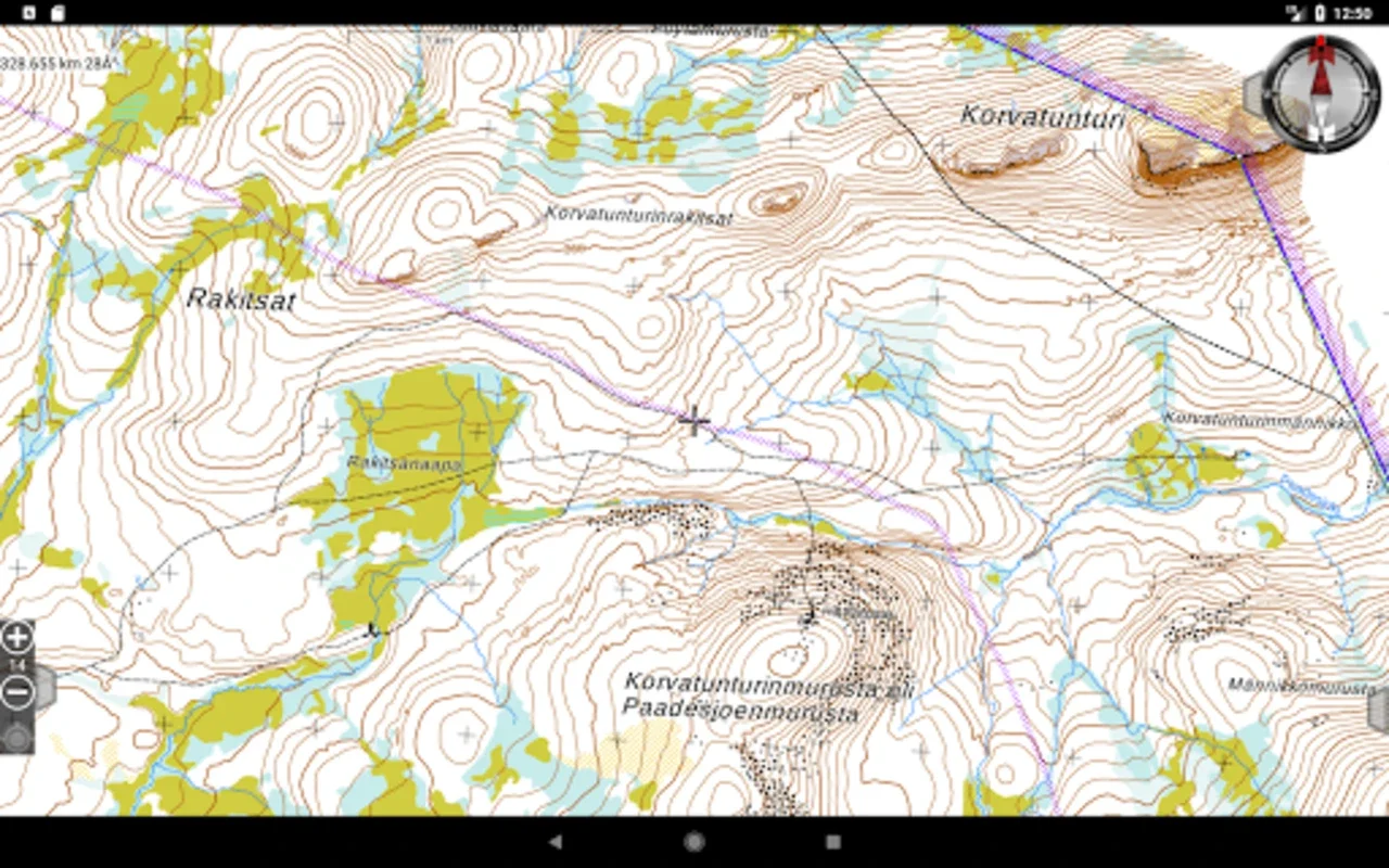
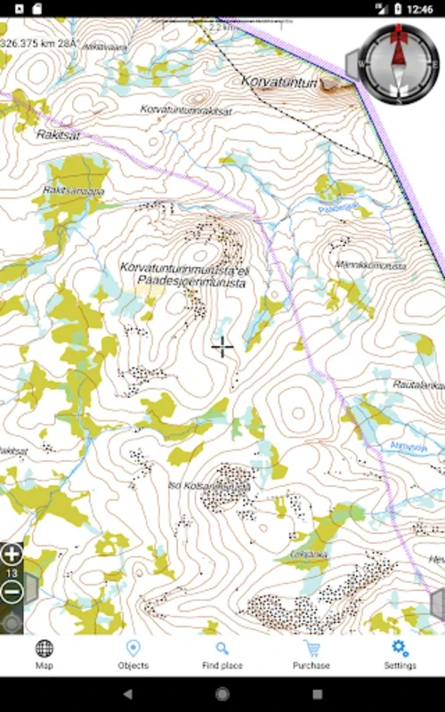
One of the standout features of Jahtikartta outdoor GPS map is its ability to provide comprehensive terrain maps without the need for an active internet connection. Users can download maps beforehand, ensuring seamless navigation even in the most remote areas. This is a game-changer for those who love to venture off the beaten path and explore the uncharted wilderness.
2. Real-Time GPS Location Tracking
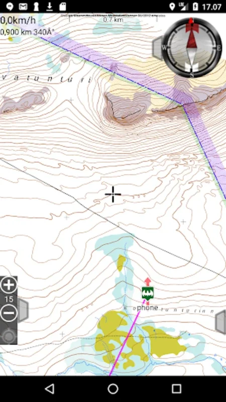
The app comes equipped with real-time GPS location tracking, allowing users to keep a close eye on their whereabouts at all times. This feature is not only useful for ensuring safety but also for documenting the journey and sharing it with others.
3. Speedometer and Compass
In addition to location tracking, Jahtikartta outdoor GPS map also features a speedometer and a compass. The speedometer provides valuable information about the user's speed, while the compass offers both direction and distance to the intended destination. These tools are essential for efficient navigation and can make the difference between a successful adventure and a lost one.
4. Waypoint Saving and Route Planning
Another great feature of Jahtikartta outdoor GPS map is the ability to save specific waypoints. Users can mark important spots and revisit them later or use them as reference points for future adventures. The app also enables users to draw and measure routes and areas, making it easy to plan and organize outdoor activities.
5. Pro Subscription Options
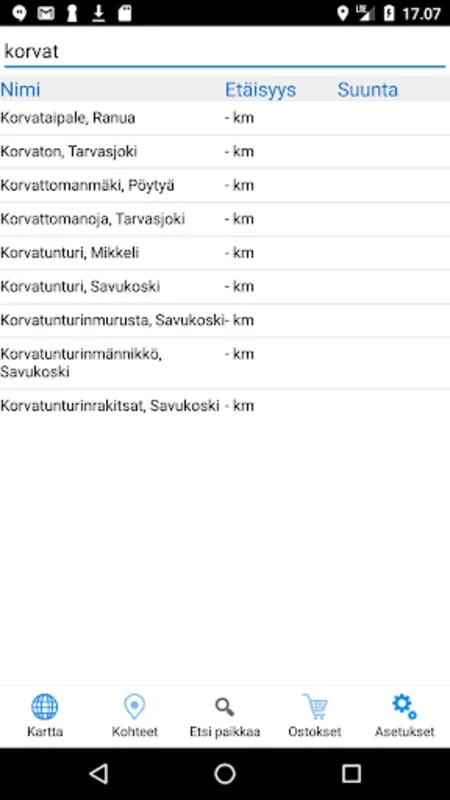
For users who require more detailed geographic information or are engaged in property-related activities, the Pro subscription offers additional functionalities. This includes detailed property boundaries, enhanced map loading options, and the ability to search for coordinates using place names or addresses. Pro users also benefit from access to hunting area boundaries, team location sharing, and GPRS positioning for compatible GPS locators.
In conclusion, Jahtikartta outdoor GPS map is a powerful tool that combines advanced technology with user-friendly features. Whether you're a seasoned adventurer or just starting out, this app is sure to enhance your outdoor experiences and make your Nordic adventures safer and more enjoyable.