GPS Fields Area Measure App Introduction
Introduction
GPS Fields Area Measure is a remarkable software that has been designed to meet the measurement needs of various industries. It is a tool that has found its place in the hands of professionals in agriculture, construction, landscaping, and more. This software offers a range of features that make it an invaluable asset for those who need to measure areas, distances, and perimeters with precision.
The Importance of Accurate Measurements
In today's world, accurate measurements are crucial in many fields. In agriculture, for example, farmers need to know the exact area of their fields to calculate the amount of seeds, fertilizers, and pesticides required. In construction, accurate measurements of land areas and distances are essential for proper planning and execution of projects. GPS Fields Area Measure provides the necessary accuracy, which can save both time and resources.
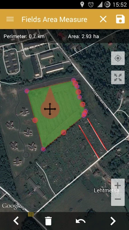
Features of GPS Fields Area Measure
High - Precision Marking
The software offers fast area and distance marking capabilities. The Smart Marker Mode is a standout feature that allows for extremely precise pin placement. This means that when you are marking points on a map, you can be confident that the location is accurate. Additionally, the "undo" button provides flexibility during the measurement process. If you make a mistake or need to adjust a measurement, it can be easily done.
GPS Tracking and Auto - Measure
GPS tracking and the auto - measure function are integral parts of this software. They enable accurate assessments of boundaries whether you are walking or driving. This is especially useful for those who need to measure large areas or long distances. For instance, a construction site manager can drive around the perimeter of a large construction site, and the software will accurately measure the distance and area.
Versatile Applications
GPS Fields Area Measure is not limited to just one type of measurement. It can be used for a variety of applications. In land surveys, it can accurately measure the area of a piece of land. For outdoor activities, it can be used to mark routes or measure distances. In construction planning, it helps in determining the area of the construction site and planning the layout.
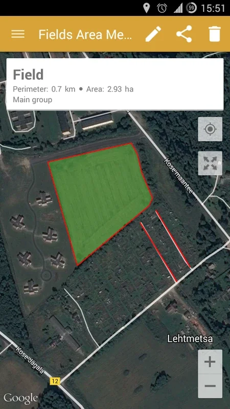
Integration with Google Maps
The ability to integrate with Google Maps is another great feature. This allows users to enhance their navigation and share important location data with colleagues or partners. For example, a landscaper can mark the location of plants and trees on a Google Map and share it with their team.
Comprehensive Utility for Different Industries
This software is designed to be useful for a wide range of industries. In agriculture, it can be used for farm management, such as measuring the area of fields for crop cultivation. In construction, it can be used for asset mapping and planning. In landscaping, it can be used for planning the layout of gardens and parks. It can also be used for solar panel installations, where accurate measurement of the area is required.
Comparison with Other Measurement Tools
When compared to other measurement tools, GPS Fields Area Measure stands out. Some traditional measurement tools may require manual calculations and are prone to human error. This software, on the other hand, uses GPS technology to provide accurate measurements. It also offers more features such as the Smart Marker Mode and integration with Google Maps, which are not available in many other tools.
How to Use GPS Fields Area Measure
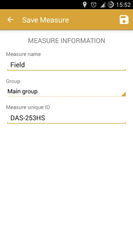
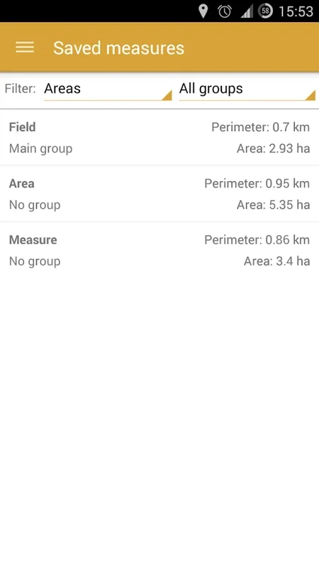
Using GPS Fields Area Measure is relatively straightforward. Once you open the app, you can start by selecting the type of measurement you want to make, whether it is an area, distance, or perimeter measurement. Then, you can start marking points on the map using the various marking modes available. The software will then calculate the measurement based on the points you have marked.
Conclusion
GPS Fields Area Measure is a powerful software that offers accurate measurements, versatile functionality, and comprehensive utility for different industries. It is a tool that can save time and resources while providing accurate and reliable measurements. Whether you are in agriculture, construction, or any other industry that requires measurement, this software is definitely worth considering.